Often, it is.  But if Project Base Point has ever moved in the life of the Revit project, then it probably won’t be.  Revit Zero (sometimes called the Internal Origin) affects things like FBX and NWC export (IFC too) when using Project Coordinates.

One way to find it is to make a DWG file with a couple of lines at 0,0,0 and link in Auto – Origin to Origin.  Another way is to make a Spot Coordinate that reports based on the “Relative” option.

You can theoretically  have 3 different coordinate records for a single geometric point, as this image shows:

You can read a bit about this at Revit Landscape.

From Geometry Gym downloads page:
Geometry Gym IFC text tree viewer, Unblock zip (right click Properties) and then unzip into a folder of your choice.

ggIFCTreeViewer.zip (4th February 2014) 
via https://twitter.com/owensharp/status/430502199429300224

EDIT Updated link as of 26 March 2014
http://geometrygym.wdfiles.com/local–files/downloads/ggIFCTreeViewer.zip

You can also view the embedded coordinate information in the IFC, for example:

Not a great position to be in (having point clouds with different coordinate systems and no known common point), but here is some code that may help:
andymiller/FeatureBasedAlignment · GitHub

From GibHub:
The goal is to accurately register two point clouds created from different image spectrums (e.g. visual to infrared), in different coordinate systems of different scales.

Current approach is: 
– Take two point clouds 
 – Estimate normals for each point 
– Find FPFH Features for each point 
– Find likely correspondences between two models (based on FPFH) 
– Use top features to estimate scale, 
 – Run RANSAC to estimate transformation, and eliminate correspondences 
– Use remaining correspondences to run ICP for finer alignment

In a recent project, we received a DWG file and a number of point clouds, all on the same coordinate system (MGA).

To setup project initially, I followed these steps:

  1. New Project
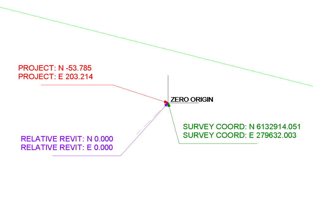
  2. Link the survey DWG by Auto, Origin to Origin
  3. Acquire Coordinates from the DWG in Revit
  4. Link the Point Cloud (in this case, a Revit 2013 friendly PCG) by Auto, By Shared Coordinates
    Note – this 6gb came in very quickly, and worked acceptably for viewing
  5. Rinse and repeat for as many point clouds as you have.

Q.  Can you acquire the coordinate system from a basic point cloud?
No, Revit 2013 does not recognize a PCG point cloud as a valid source for Acquire Coordinates.  You can only place a point cloud by Shared Coordinates where these are already set up.

Great post on initial point cloud coordinate setup:
Point Clouds in Revit – BIM Toolbox

Interesting that centre-to-centre is often recommended as the best initial import method for a Point Cloud:
Point Cloud Processing for Revit Use

Further, you can move one point cloud and use those transforms to modify the next link:
7) Move the cloud in the X, Y & Z to align it where you want it.
8) Once you have it aligned well, repeat steps 1-4 for each cloud except Set “Positioning” pull-down to Auto – Origin to Last Placed
Laser Scanning Forum Ltd • View topic – Shared coordinate and scale in Revit

Also, some users recommended putting all point clouds in their own RVT link for easy unloading / overriding etc.  I’m unsure of the impact of snapping to such a cloud in the host project?

Further reading:
One of my team recognised that the point pattern was very similar to an error that occured in Geomagic. very similar to how Revit has issues with things being too far from project base point so does geomagic. It turns out that even though I dropped the cloud very close to the project base point for some reason Revit 2014 must be still reading the old real world coordinates and sees it as if it is still 100s of miles from origin, which is what seems to be causing the resolution problems. Hence we went back into the original registered data in cyclone and made the project arbitrary (moved it close to 0,0,0), we then re-exported to .pts bought into Revit and the results are as per the attachment, loads better than before and deffinately possible to work with now!via RevitCity.com | Revit 2014 Point Cloud Benefits/limitations?

Isolate this the selected element and then use the zoom to fit option. Now you should be able to see your point cloud / import in the center of the screen.
via Point cloud or linked file not appearing in Revit – Shared coordinates | BIMopedia

If you are working with point clouds, you are probably aware that setting up the points to be re-modeled properly within Revit is essential. When you import your point cloud by shared coordinates, you are left with a 3D model of your points.
via Setting up your Revit project to model point cloud data | BIMopedia

On Revit 2014:
The new point cloud engine uses RCP/RCS formats. The RCP format is a project file while an RCS file is a scan file. A RCP file is a group of multiple RCS scan files. If you have raw data in other acceptable formats Revit will index it in the background and let you know when the indexing is complete.

They enhanced Revit’s sensitivity to points and planes within the point cloud data. This should make it easier to sketch model elements using the underlying cloud data. Revit will detect planes that are perpendicular to the current work plane and very close to the cursor.

via Revit OpEd: Point Clouds in Revit 2014

Posted by Mark Petrucci:

  •  Did you know there is another point called the Startup Location? Be default, the PBP and SP are located on top of the Startup Location. What is the Startup Location used for? It’s used for linking models ORIGIN-TO-ORIGIN.
  • If you are an engineer and want to link the Architect’s project file origin-to-origin, you need to do this before you start the engineering model.
  • if a structural engineer lays out column grids without the architects model and then links files later, origin-to-origin will not work.
  • never, I repeat never move the building. I’ve read blogs on how to move a building using infinite view ranges. This does not work…

via
Applied Software Blog: Revit Shared Origin Survey Startup Base Location…

BIM Coordinator for AutoCAD® Civil 3D® and Autodesk® Revit® software is a free* technology preview that assists project team members with building and site grids.

Go to:
Autodesk Labs Utilities BIM Coordinator for AutoCAD Civil 3D and Revit

Heads up from BIM Apps:
http://bimapps.typepad.com/bim-apps/2012/05/share-coordinates-between-autocad-civil-3d-and-revit-structure.html

EDIT For some reason the original video is not working.  It was also referenced on Wikihelp here, and that embedded version is broken too.  I tried to contact Youtube user cwm9 but did not get a reply.  I have re-uploaded to here:
http://www.youtube.com/watch?v=RuYely7lu-0&feature=youtu.be

Wow 🙂

Broken version, was at: http://www.youtube.com/watch?feature=player_embedded&v=mVHgJFrBvC0

From the narrator (?):


“Uploaded by cwm9 on Dec 3, 2011


The coordinate system or Revit has been rehashed many times on blogs and posts, but has been clear as mud for me, and I suspect a lot of other people. So I took the time to really figure out it, and here’s a 30 minute explanation of how Revit’s coordinate systems work, interrelate,
how true north works, and how to put multiple copies of a building on a site.”

How do you keep the sun in the correct, real-universe location when dealing with shadows in Revit 3D views?

Here is how:

On the Status Bar (that’s the one on the bottom) click on the Sun Path icon and then select Sun Settings.
Uncheck the tick box for Relative to View.

Thanks to:
BIMbyScottC: Using the Sun to your Advantage

Image from BIMbyScottC

Great veteran’s tip from Steve.  He explains how to reset shared coordinates to an out-of-the-box setting by Acquiring Coordinates from a default Revit template:

Once two files are sharing coordinates you can’t really remove this relationship. If you remove the link and import it again (Auto – Origin to Origin) the relationship survives.


To truly remove (really more like replace) the relationship I use a new file that is based on the stock Revit template default.rte. I import this file and Acquire Coordinates from it instead. Revit can only acquire coordinates from one source file so using a “good” one “resets” it

via
Revit OpEd: Shared Coordinates and Copy Monitor