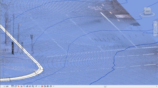
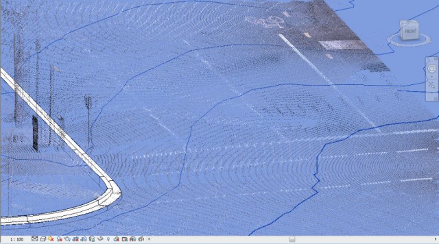
Mark Cronin has put together a nice guide describing how to clean up point cloud data in Civil3D, make a surface and then import that into Revit for topography creation.  This is an alternative to using ScanToBIM for topography creation from point data, and if you already have Civil3D it might be the better route.

Read the detailed guide at:
Generate Revit Topography from Point Cloud Data | betterREVIT

My previous posts about Civil3D and Revit:
Using Civil3D to increase your Topography resolution in Revit

Simple methods to help with Civil 3D and Revit interoperability
You will need to login to Subscription site to download:

extend the capabilities … in key areas, including structural analysis, modeling, reinforcement, interoperability and
construction documentation. This download contains a portion of all
previously released Revit Extensions (some content has been migrated to
Autodesk Exchange Apps as separate installations or is no longer
supported).

Please note that the multi-language executable file
contains the following language versions: Brazilian Portuguese, English,
French, German, Japanese, Polish, Russian, and Simplified Chinese.

*Autodesk
Revit 2015 software is only available as part of the Autodesk® Building
Design Suite 2015 Premium and Ultimate Editions and Autodesk®
Infrastructure Design Suite 2015 Ultimate Edition.

Download

Multiple Languages (exe – 224406Kb)

via

Revit Extensions for Autodesk Revit 2015

Some thought-provoking stuff from the shoegnome blog: 
“SketchUp was a disruptive force when it appeared so many years ago. It democratized and simplified 3D modeling. Anyone could model anything in SketchUp. And now there are 3.5 MILLION models in the 3D warehouse. SketchUp can now attach IFC data to elements. Connect those dots.

In 2014 SketchUp became BIM. And I think we’re all in for a whole new thing.”

Read Jared’s whole article at:
SketchUp Pro 2014 and IFC: welcome to the new world of BIM

via
https://twitter.com/bimannouncer/status/455783135368601601

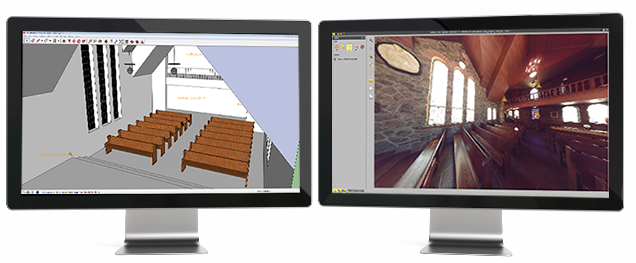
The Trimble Scan Explorer Extension dramatically reduces the time required to generate a SketchUp Pro 3D model from scan data. Streamlined tools and one-touch features allow users to quickly extract construction points and lines that are used as a guide to simplify and expedite the modeling process. Automated plane extraction tools further increase modeling efficiency, particularly when modeling building interiors and facades.

Video:

Read the news release:
Trimble News Release

via
https://twitter.com/TrimbleBuilding/status/455775711937060865

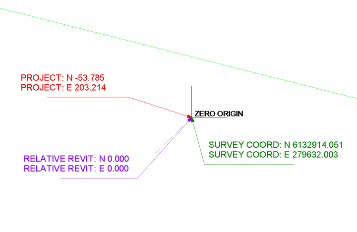
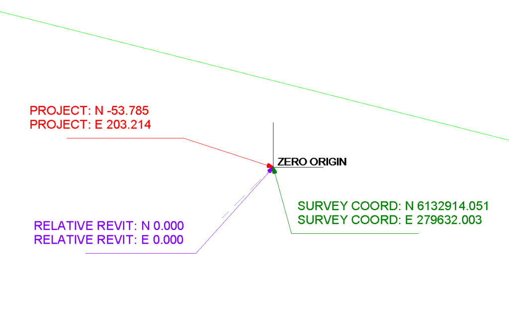
Often, it is.  But if Project Base Point has ever moved in the life of the Revit project, then it probably won’t be.  Revit Zero (sometimes called the Internal Origin) affects things like FBX and NWC export (IFC too) when using Project Coordinates.

One way to find it is to make a DWG file with a couple of lines at 0,0,0 and link in Auto – Origin to Origin.  Another way is to make a Spot Coordinate that reports based on the “Relative” option.

You can theoretically  have 3 different coordinate records for a single geometric point, as this image shows:

You can read a bit about this at Revit Landscape.