Is anyone still here?

Yes!! And it isn’t an AI bot either! I know it has been a bit quiet around What Revit Wants lately, and you might have guessed that it has something to do with a little startup called Deep Space

I hope to one day share the whole story from Architectural drafting, to Revit, to Virtual Built Technology (BIM and VDC Consulting), to Revizto, and finally to where we are today – Deep Space!

For now, I just wanted to reconnect and get you thinking…

  • What will 2024 hold for our industry?
  • Where will the AI stuff finally land?
  • Will the global economy stabilise and accelerate?

What Revit Wants has always been about sharing. Sharing insight. Sharing best practice. Sharing the best tools. Sharing the best and craziest hacks to get your job done. And that’s not going to change.

But we are going to talk more about data. About automation. About AI – both real and imagined. About changing things for the better. About breaking down barriers. Barriers that divide us. Barriers in technology. Barriers in communication. Philosophical barriers. Our own self enforced mental barriers!

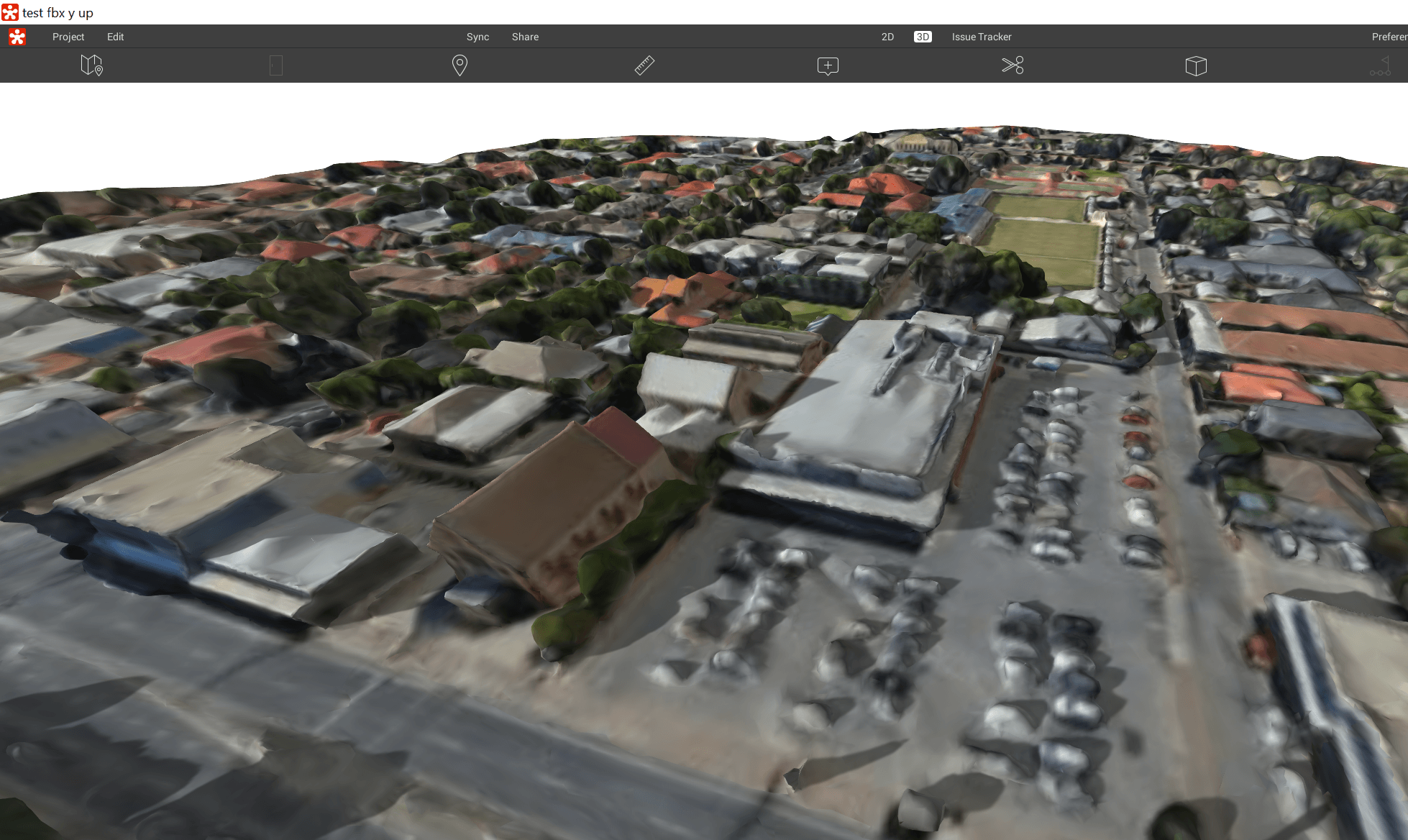
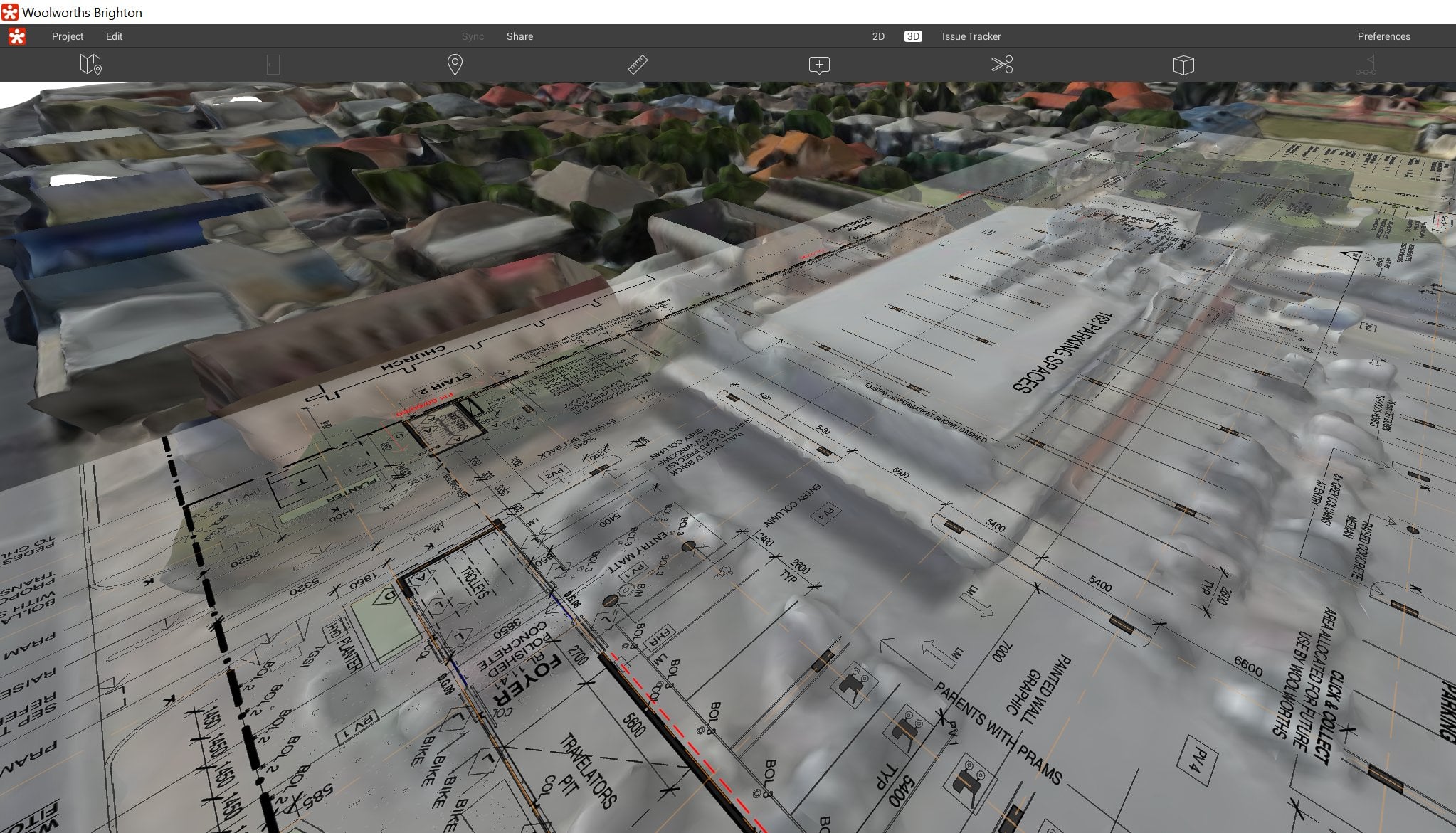
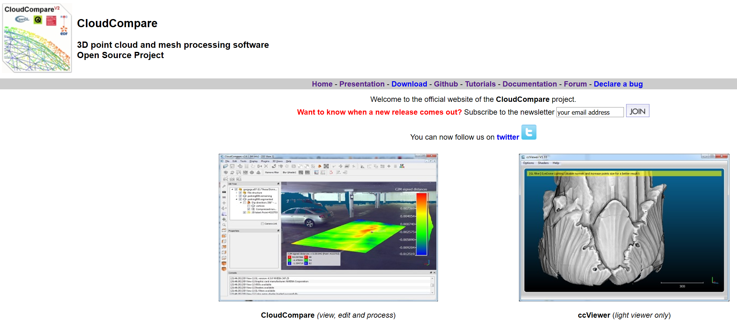
When I started using Revit, I knew it would be transformative. It was a smarter way to work! When we discovered Revizto, I was glad someone had built the tool I had sketched and prototyped in 2014 – an integrated collaboration platform for 2D, 3D and more. As we built Deep Space, we knew we were entering a new generation – The Next Generation. Something that would be practical, data-focused, agnostic, embodied with years of domain expertise. We called our proprietary engine “Core Thread Technology”.

Anybody can build dashboards, but only Deep Space has a data-first, structured, relational, historical, self aware, replicated, highly available, predictable, tenanted engine for capturing, storing and automating real digital design and construction workflows at both project and portfolio level…

I spoke to someone recently and we talked about “data, the new gold”. He laughed and said that phrase was used in some industries back in the 90s!! So ‘data’ isn’t really new. But for specific industries, at various times, it gets unearthed and polished and shaped into something valuable. That is happening rapidly now in AEC and Digital Construction. That is what Deep Space was built to do. Mine this AEC golden data, clean it, polish it, connect it with other gems of information and make something both beautiful and useful and transformative. Let’s actually make the most of the data we have!

Let’s use data to build better projects faster, and let’s start right now.

Look out for more posts and updates coming soon…

Aerial imagery and 3D models are extremely powerful visual tools. Often, these are used primarily in early design and master planning. Some software tools connect directly to aerial imagery and 3D data providers. Unfortunately, Google has not really opened up the connection to their base 3D data. But we can capture imagery from it, and then rebuild in another photo-to-mesh tool, like Recap Photo. Keep in mind that you will be creating a 3D mesh, from an isometric 3D world view, which was created only from aerial images. Basically, your output will vary, and will probably not be high quality. But for the intended use in early design and master planning, the below workflow may be useful…

Note: Please investigate the license and copyright of this data for such use.

Here’s how:

  1. Open your desired 3D isometric aerial imagery in desired application (such as Google Earth, Google Maps or similar)

    *Note: User to be aware of relevant copyright restrictions
  2. Open ScreenToGif (downloads here). This is used to create snapshot images of the screen very quickly.
  3. Setup the scene, so that you have the ScreenToGif window appropriately overlaid onto your actual imagery
  4. Start recording, and slowly orbit at least 360 degrees as shown
    here
  5. In ScreenToGif, open the image folder
  6. Convert the images from PNG to JPG (I used Irfanview Batch Convert)
  7. Load into Recap Photo, make new Object project, spend 12 cloud credits and start the mesh creation
  8. After meshing, in Recap use the measurement scale tool to scale the model based on the distance between two known points

  9. Export the 3D Model from Recap. Various formats are available. In this case, I exported directly to FBX with Y-Up and imported straight to Revizto. You could also import FBX to AutoCAD and then to Revit, or you could bring it into Meshmixer first to delete some parts of the model via OBJ.

In Revizto, the direct FBX import looks like this:

Sheet overlay in Revizto. Simply with a PDF and some freely available aerial imagery, we now have a 3D collaboration workspace ready to go:

There are a whole lot of paid and open source tools out there for photogrammetry (turning photos into 3D models), and it is easy to get lost. I found a very detailed post by Jesse over at We Did Stuff. While it is a pretty old post, it still has lots of little tips along the way and if you are starting out with some photogrammetry workflows (like in Recap Photo), then this post is worth a read.


Here is a short excerpt:

Read the whole post:

http://wedidstuff.heavyimage.com/index.php/2013/07/12/open-source-photogrammetry-workflow/

Oh, and while we are talking about open source point cloud tools, have you had a look at CloudCompare?


While most of us are buying VR tech and making it work nicely, AR (Augmented Reality) solutions are becoming more viable and more mainstream. Did you know that you can download and use emulators to assist you to develop augmented and mixed reality apps? Check out the links below:

HoloLens Emulator:

https://developer.microsoft.com/en-us/windows/mixed-reality/using_the_hololens_emulator

Mixed Reality Simulator:

https://developer.microsoft.com/en-us/windows/mixed-reality/using_the_windows_mixed_reality_simulator