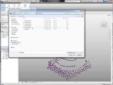
Could we laser scan the world, make a big point cloud, and then import it into Revit? Well, one day we might be able to accomplish that on a small scale (then again, maybe not). In the meantime, try this process:
It is an interesting add-in for Revit that can import point data into the conceptual environment. It was written to “narrow the gap between computational concept design, terrestrial laser scanning and Building Information Modeling.”
Video:
Download page Version 2.1 has just been released (25 May 2013)
Some info: GreenSpider conveniently parses ASCII text files representing 3D vertexes, whether generated by computational modeling software or terrestrial laser scanning equipment.
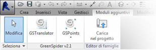
Once installed through this installer package on Windows-based pc’s, GreenSpider 2.1 can be accessed in Revit mass modeling environment. … GSpoints and GScurves. The first one simply imports vertex point cloud as reference points in mass modeling environment, while the second traces a spline interpolation among imported points sorted through a TSP process, in order to build surfaces after recursive .GSP imports.
… Decimated laser scanner point clouds are imported this way in Revit as many times as needed (using a reset function every time in Translator module), and generated curves can be used to originate surfaces very close to their real geometry.