From viewing the video, it looks like you just:
- Take some pictures with your drone and GoPro
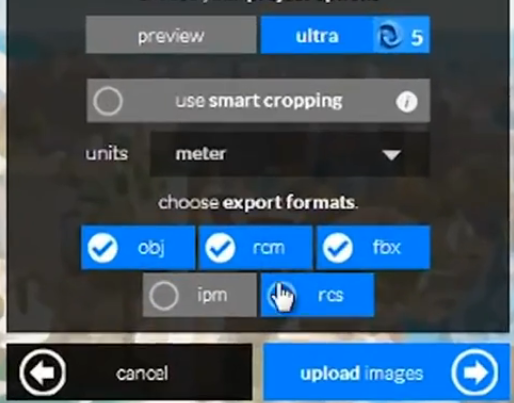
- Upload to Recap 360 and make sure you get an RCS output
- Link it into Revit and do your conceptual modelling
- Visualize the model using the site context from the linked RCS point cloud
Easy!
Here’s the video:
Heads-up https://twitter.com/Alex_BIM_AJP/status/479897809634988033


