

I previously posted about CADtoEarth at:
https://wrw.is/2012/08/quickly-add-google-earth-site-context.html
Although some people have struggled to implement it or understand how it works, I still like it as a quick way to import Google Earth topography as site context. The new version is on Exchange at:
http://apps.exchange.autodesk.com/RVT/en/Detail/Index?id=appstore.exchange.autodesk.com%3acadtoearth%3aen
Video:
via email:
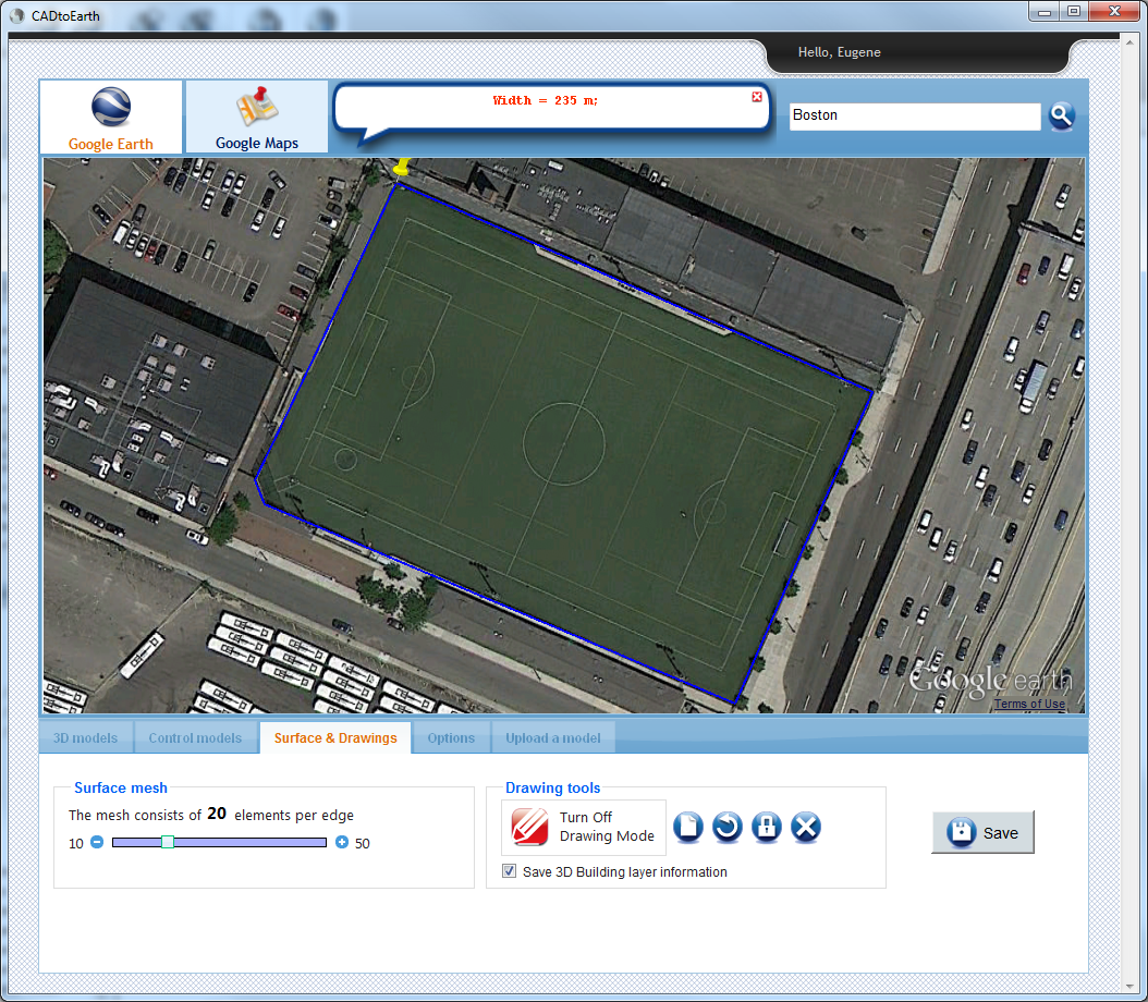
We, at AMC Bridge LLC, are excited to announce availability of new version of CADtoEarth for Revit the application that allows for seamless integration between Revit and Google Earth.
The CADtoEarth 2.0 add-in now allows users to create personal accounts on the CADtoEarth web application and provides individual control over the visibility of uploaded data.
We continue improving our applications, so please, dont hesitate to contact us at contact@amcbridge.com if you encounter any problems with the new version, or have any enhancement requests.

 - Direct Links")

")


For those who read French, here is a good explanation of BIM – IFC : http://www.rhino4you.com/1/bim_ifc_maquette_3d_383350.html, and what the French call the digital model/sketchup/mockup (maquette numérique).